From scattered information to decisions that scale strategically.

Most of the organizations I work with come in with one of three challenges.
1 - Their data, research, and field knowledge is scattered across programs, partners, and formats and there's no clear way to see what it all means or act on it.
2- They're launching an initiative that needs more than a framework, they need a strategy for reaching the funders, partners, or decision-makers who can make it real.
3 - They know what they've built is valuable, but they can't get the impact story to land with the people who need to hear it.
That's exactly the territory I work in.
For 25+ years I've helped organizations working on conservation, parks, trails, and climate issues understand what they have, position it for the people who need to act, and build the strategy to scale their impact.
I speak fluent data, geospatial technology and strategy. That means I can walk into any room, with a land trust, a park agency, a foundation, a Tribal Nation, or a company navigating sustainability, and understand what they have, what it means, and how to position it for the people and markets they need to reach. I understand the data at a technical level, the strategy at an organizational level, and the landscape of decision-makers well enough to know how to reach them.
That combination is rare and it's what makes the work go from data & map to strategic initiative.
I also bring AI tools selectively into my work where they genuinely accelerate what would otherwise be a slow, manual processes.
Services
-
For organizations that know they have a data problem — but don't know where to start.
Assess the current data landscape: what exists, what's missing, what's fragmented across programs and partners
Design data strategy and workflow recommendations that fit the organization's mission, capacity, and existing systems
Define requirements and guide the design of GIS-based monitoring, reporting, and evaluation systems
Keep outputs connected to real decisions — not just dashboards that go unread
Example: A global corporate sustainability program needed more than a reforestation dashboard — they needed a spatial data architecture that could scale. BRC led the prototype build alongside full recommendations for database modernization, data governance, partner workflows, and a phased implementation roadmap.
→ Engagements typically run 3–9 months, often beginning with a 4–6 week discovery phase.
-
For organizations that need a strategic foundation for an initiative, campaign, or market move — and need to reach the right decision-makers in the right way.
Identify the decisions the initiative needs to support — then work backward from outcomes
Design the data, GIS methodology, and framework architecture that will drive the work
Build multi-criteria frameworks integrating scientific data, community knowledge, and equity dimensions
Develop positioning strategy: how to frame the work for funders, partners, markets, or sectors
Map the decision-maker landscape and build the outreach and engagement strategy to reach them
Create replicable approaches that scale beyond the initial engagement
Example: American Trails engaged BRC to design a nationwide approach to an authoritative trails database and decision-support platform — helping trail managers across the country make better decisions on funding, equity, accessibility, and stewardship.
→ Framework and strategy design typically runs 2–6 months, with longer timelines for implementation phases.
-
For senior leaders who need a trusted thought partner to see clearly, position their work effectively, and move faster in complex environments.
Embedded strategic advisor for leadership teams navigating complex decisions, markets, or stakeholder landscapes
Help organizations understand what they have — data, proof points, impact — and how to position it for the sectors and funders they need to reach
Translate research, geospatial analysis, and community knowledge into clear strategic direction
Connect environmental and community benefits to business, funder, or policy bottom lines
Review and sharpen existing approaches, data systems, or strategic plans
Support internal capacity building and team mentoring on data, strategy, and decision-making
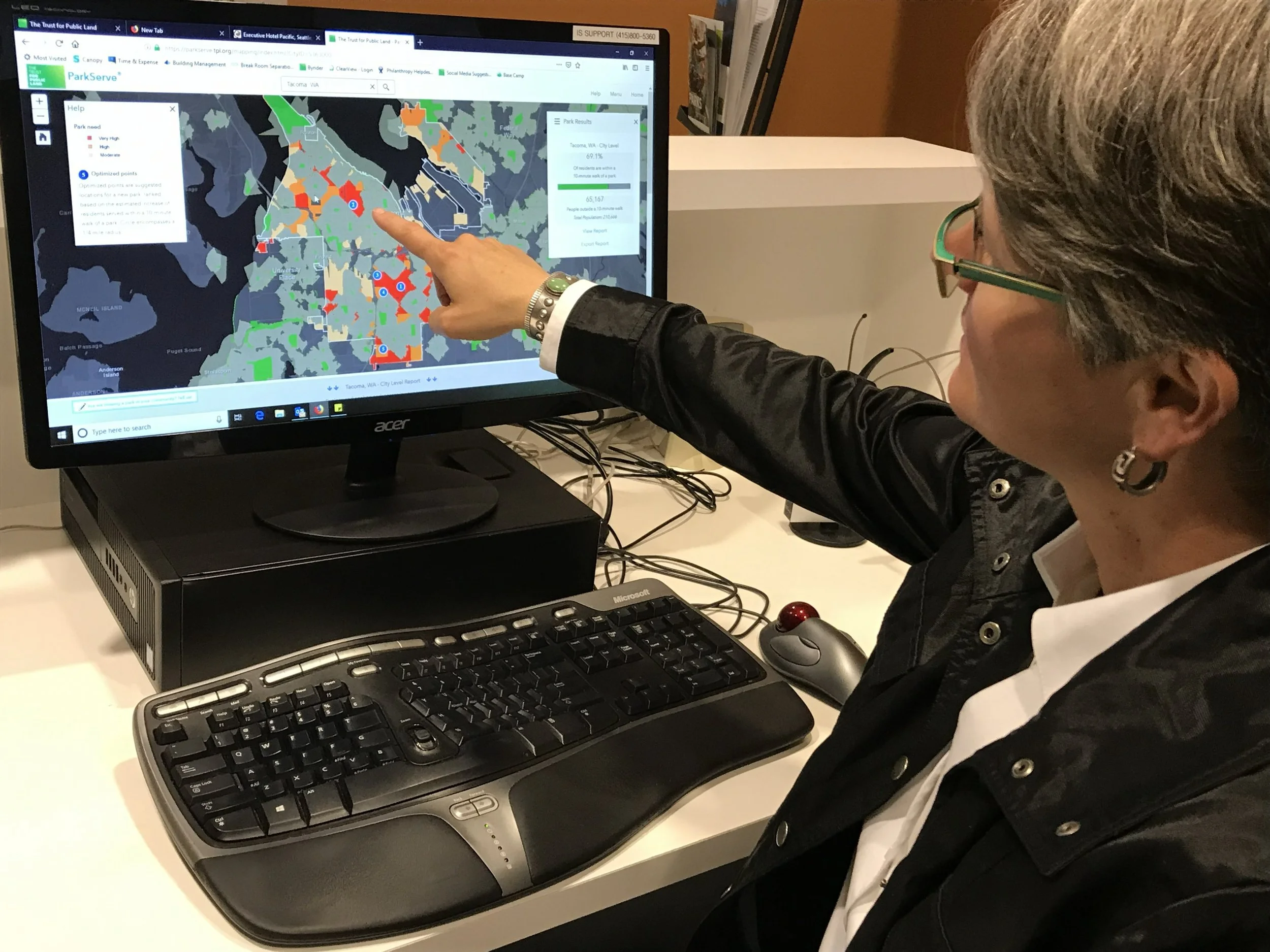
Example: A national foundation asked BRC to assess whether their environment program's investments were reaching the communities most exposed to climate risk. BRC audited grantee and subgrantee data, built workflows to fill gaps, and mapped investments against heat island, flooding, poverty, and park access layers — revealing where resources needed to be redirected.
→ Available on a monthly retainer or defined-scope project basis.
How Engagements Work
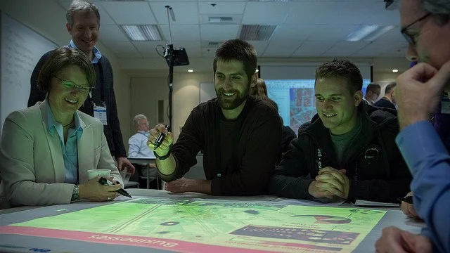
I lead strategy, positioning, and client relationships — helping organizations understand what they have, how to frame it, and how to reach the people who need to act on it. Deep GIS fluency and 25+ years of geospatial experience ground that strategic work in technical reality: the advice is always connected to what the data actually shows and what systems can realistically deliver. Technical execution is delivered through a trusted bench of GIS specialists, data engineers, and other practitioners assembled to fit each project's needs, with AI tools brought in selectively where they genuinely add value.
This keeps the work focused on what matters most: clarity, alignment, and decisions that drive action. You get senior strategic attention throughout.
Typical entry points
Discovery & Assessment (4–6 weeks)
Strategic Framework Design (2–4 months)
Advisory Retainer (ongoing, monthly)
Full engagement: strategy + systems build
Who I work with
Conservation organizations and land trusts
Parks and outdoor recreation agencies
Trail managers and associations
Tribal Nations and Indigenous-led organizations
Environmental justice and climate programs
Foundations and impact-focused companies
Selected Work
-
A global corporate sustainability program needed a way to see active reforestation projects, across multiple continents, in a single spatial system. BRC led the prototype GIS dashboard build and delivered a full data architecture roadmap for scaling from spreadsheets to an enterprise-grade reporting platform.
-
American Trails engaged BRC to design a nationwide approach to building an authoritative trails database and decision-support platform. The work will help trail managers across the country make better GIS-informed decisions on funding, equity, accessibility, and long-term stewardship.
-
A national foundation wanted to know whether their environment program's resources were reaching the communities most exposed to climate risk. BRC assessed the grantee data, built workflows to fill gaps, and mapped investments against environmental vulnerability layers, heat islands, flooding, poverty, and park access, to reveal where resources needed to be redirected.
-
BRC has served as a strategic advisor to a certified B Corp building climate action planning tools for businesses, including business strategy restructuring, innovation ideation, and developing market differentiation in the conservation and parks sector.
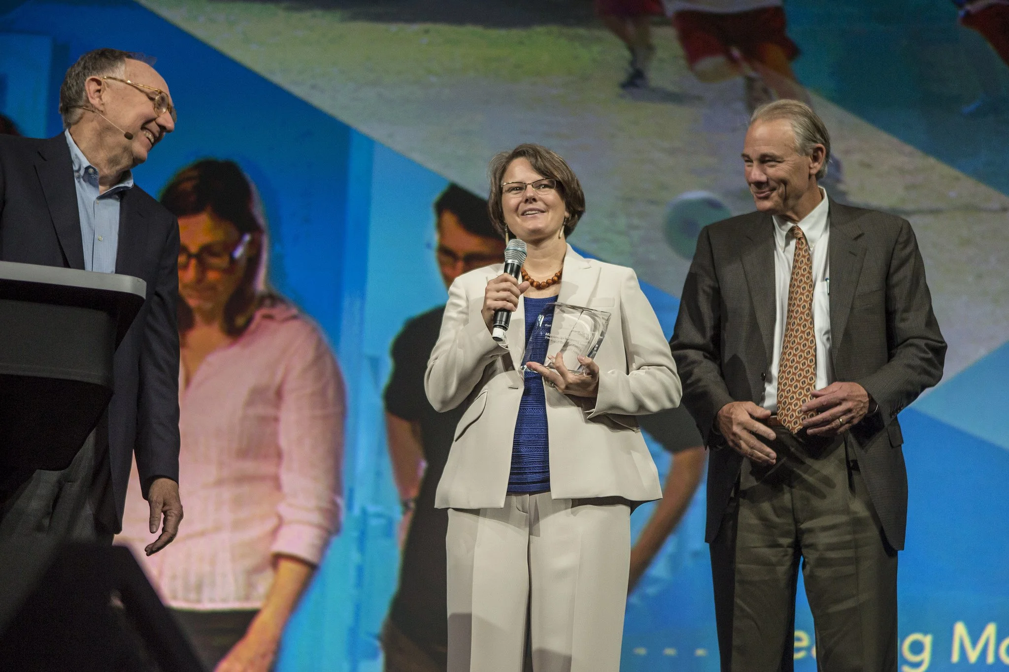
Available for Keynote and Panel Speaking
Breece brings 25+ years of field experience to stages and panels focused on conservation, GIS and geospatial innovation, parks and public lands, climate resilience, and environmental justice.
Topics include:
The future of conservation: geospatial strategy, AI, and the data infrastructure land protection needs
Parks, equity, and the 10-Minute Walk
Protecting 30x30 and 50x50: what it takes, what's missing, and how data helps
Story, data, and the gap between insight and action
Monitoring, evaluation, and impact reporting for lands and communities
Building resilience through adaptation planning and vulnerability assessments
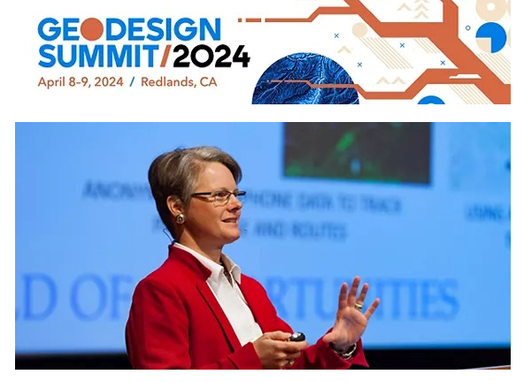
Past stages include the Esri International User Conference, SCGIS, Geodesign Summit, Land Trust Alliance Rally, Yale School of Forestry, and the Urban Land Institute.
The work that matters most doesn't end with a deliverable. It builds something that outlasts any single engagement — a dataset used by hundreds of organizations, a methodology deployed across a country, a framework that keeps driving decisions long after the project ends.
That's the work I'm here to do.
Let's start with a conversation. If you're working on conservation, land, trails, parks, or climate, and you're trying to figure out what to build, measure, or do next, I'd love to hear from you.
Let’s Work Together!If you're interested in working with me, complete the form with a few details about your project. I’ll review your message and get back to you within 48 hours.