turning data and information into insights and inspiration to save our planet.
My Pillars
Collaboration, accessibility, and inclusiveness are what feed my work and passion every day.
collaboration: the issues we face are much larger than any one of us can tackle alone. We must work together to save our planet.

accessibility: democratizing and sharing data and tools ensures that everyone has equitable access to the information and inspiration needed to solve our biggest challenges.

inclusiveness: racial, social and environmental justice are at the core of building the communities and places we all want and need to thrive in our lifetimes.
Now available for strategic consulting engagements
I work with conservation organizations, park and recreation agencies, trail managers, Tribal Nations, foundations, and climate-focused companies, bringing GIS expertise, strategic frameworks, and narrative craft to the work of green infrastructure, land and environment solutions, measuring impact, and scaling initiatives.
If you need a partner who understands how data and geospatial systems translate to impacts and story - let's talk.
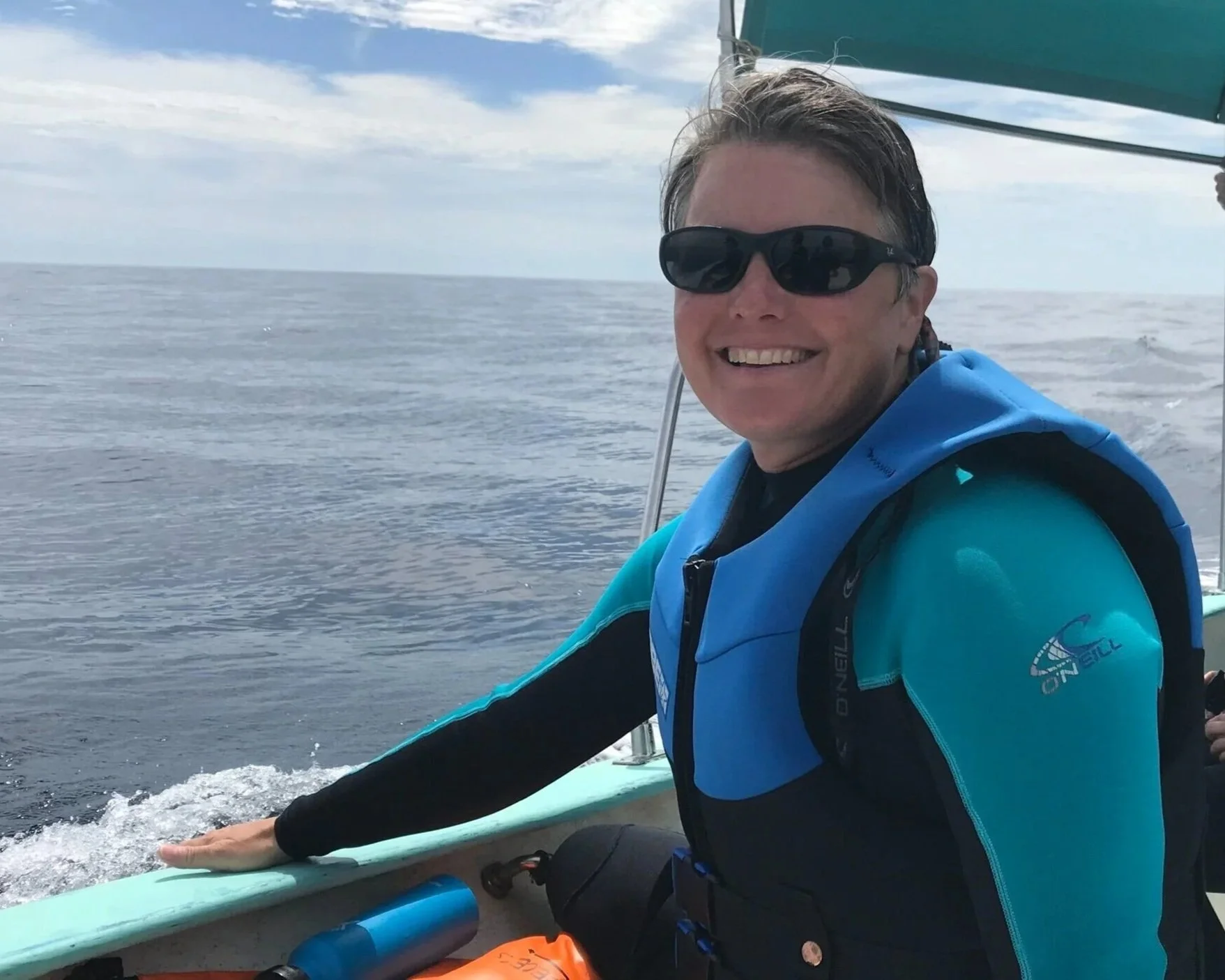
Meet Breece…
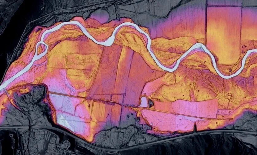
I've spent 25+ years leading teams that build GIS systems, frameworks, and tools that conservation organizations actually use, from ParkScore® and Greenprinting at the Trust for Public Land, to a global reforestation monitoring backbone at One Tree Planted spanning 600+ partners across 80 countries.
Today I run Breece Robertson Consulting, working with organizations navigating conservation, climate, trails, parks, and environmental justice challenges. My book, Protecting the Places We Love, captures the approach and is a resource for anyone working to protect, restore and steward places.
Recent Updates
Currently working with American Trails to design a nationwide framework for an authoritative trails database and decision-support platform, helping trail managers across the country make better decisions on funding, equity, and accessibility.
Check out my interview with Jack Dangermond and learn more about my book Protecting the Places we Love.