Meet breece
I'm a strategic architect, conservation practitioner, and builder — someone who holds the whole system at once, from spatial data and satellite imagery to the elder's story to the corporate sustainability commitment to the decision that needs to happen next quarter.
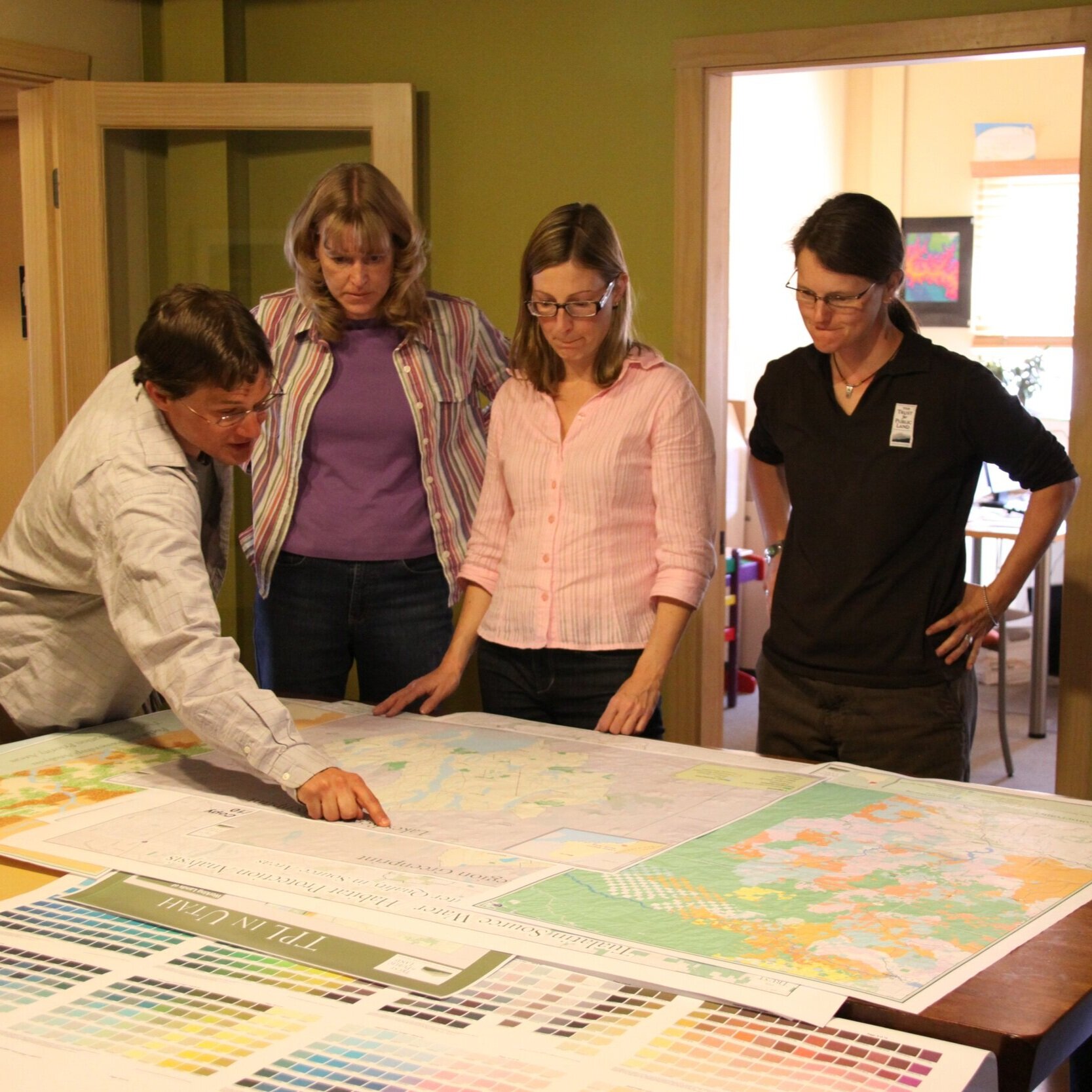
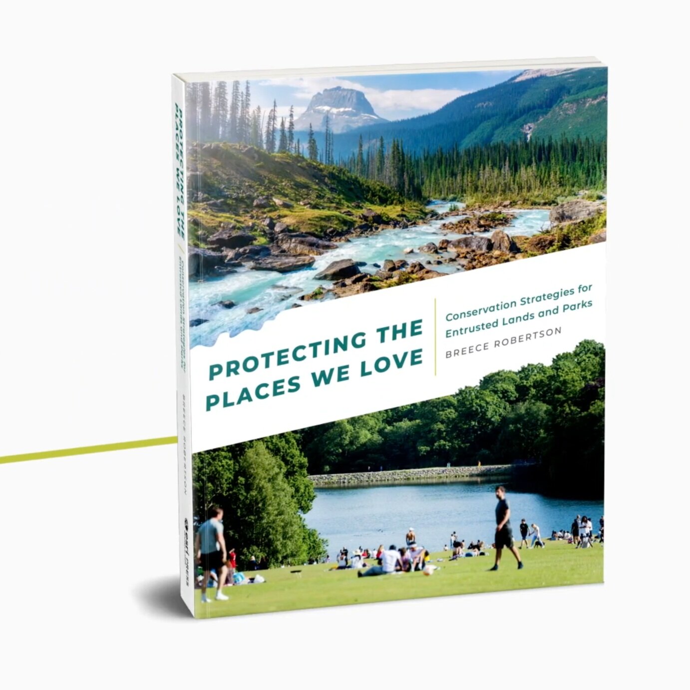
For 25+ years I've built the GIS frameworks, datasets, and systems that conservation organizations actually use. ParkScore®. Greenprinting. The monitoring backbone for One Tree Planted's global reforestation program spanning 600+ partners across 80 countries. These aren't one-off projects — they're infrastructure that outlasts any single engagement.
Today I run Breece Robertson Consulting, a strategic advisory practice working with conservation organizations, land trusts, trail managers, parks agencies, Tribal Nations, foundations, and mission-driven companies. I bring GIS expertise, strategic frameworks, and narrative craft to the work of understanding what organizations have, positioning it for the markets and decision-makers they need to reach, and scaling their impact.
My work takes me across the full arc — from the technical (GIS systems, spatial data architecture, monitoring design) to the strategic (positioning, market navigation, multi-stakeholder alignment) to the narrative (translating complex data into stories that move people to act). That range is rare, and it's what I'm most proud of.
-
2019 featured in “Women in GIS” book, Esri Press
2019 featured in “Smarter Government” book, Esri Press
2013 Planetizen Top 10 Website Award for The Trust for Public Land ParkScore® Project
2013 Huey Johnson Eureka! Award for The Trust for Public Land ParkScore® Project
2012 ESRI “Presidential Making a Difference” Award
2006 ESRI Special Achievement in GIS Award
2005 Huey Johnson Eureka! Award for bringing GIS technologies and success to The Trust for Public Land
2000 Most Outstanding Graduate Assistant, Appalachian State University
1998-1999 Julian Yoder Scholarship recipient, Appalachian State University
1999-2000 Elected Graduate School Senator, Appalachian State University
1998 – 2000 Phi Gamma Upsilon Geographic Honor Society, Appalachian State University
-
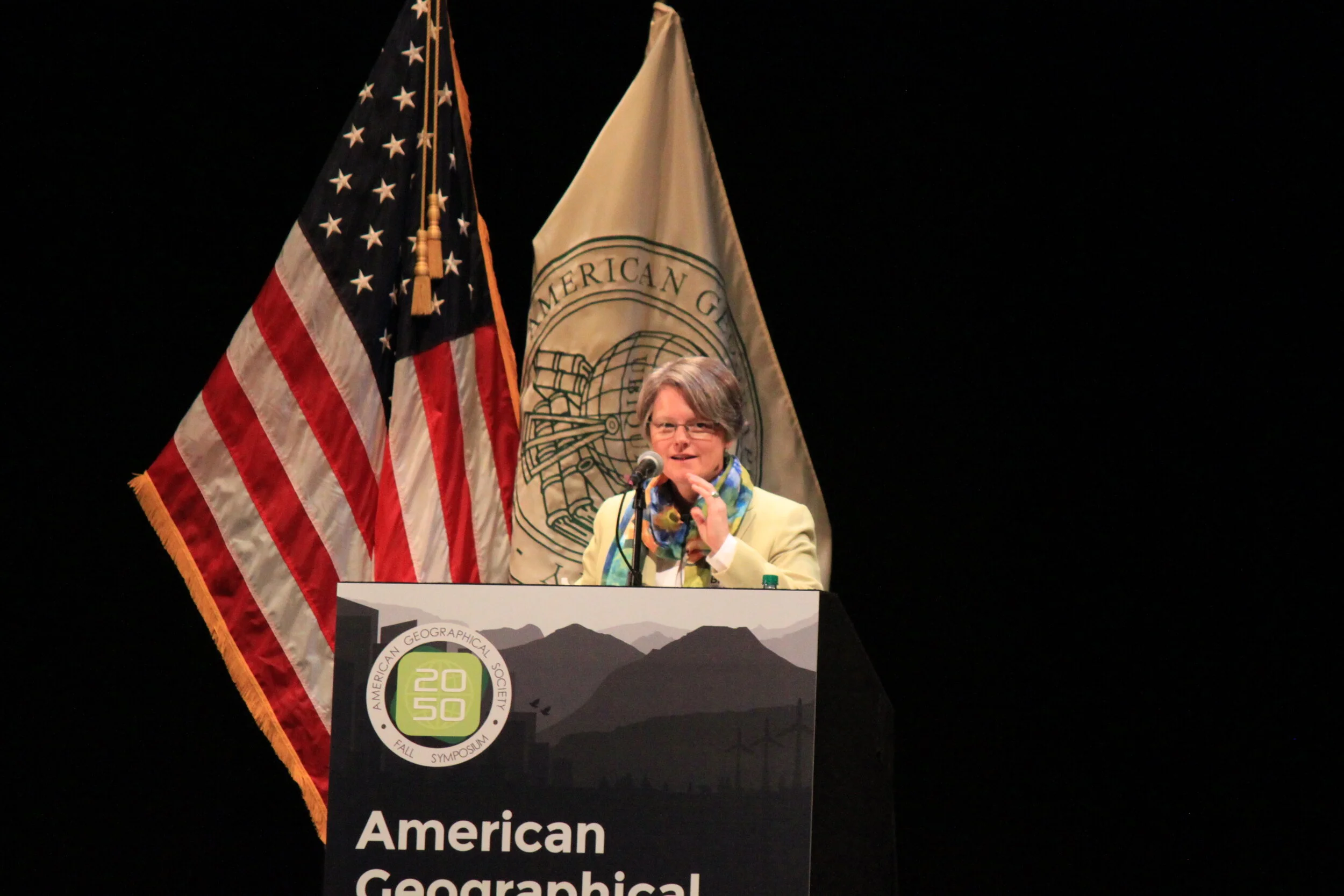
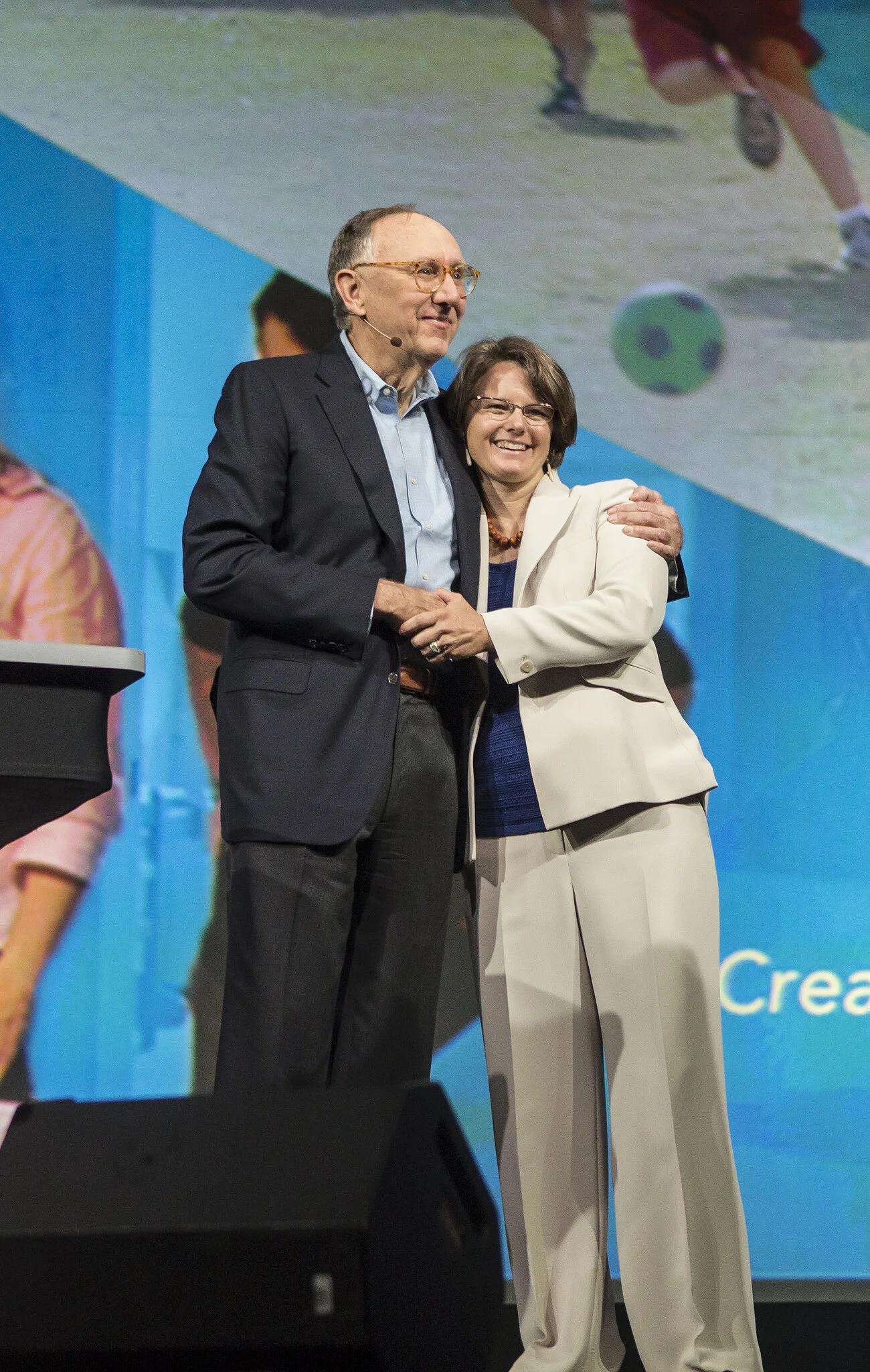
Breece has keynoted and presented at leading conferences in conservation, GIS, and land stewardship — including the Esri International User Conference, the Society for Conservation GIS, the Geodesign Summit, the Land Trust Alliance Rally, Yale School of Forestry, and the Urban Land Institute. She speaks on geospatial strategy, conservation data, parks equity, climate resilience, and the intersection of story and science.
She is available for keynote and panel engagements — see her current topics on the Services page.
-
Breece Robertson and Bob Heuer, “Website Helps Discover, Explore, and Improve US City Parks, ” ESRI ArcNews, Winter 2012/2013, Vol. 34, No. 4.
Breece Robertson, Susan H. Babey, PhD, Joelle Wolstein, MPP, Samuel Krumholz, , Allison L. Diamant, MD, MSHS, “Physical Activity, Park Access and Park Use Among California Adolescents, ”Policy Brief, UCLA Center for Health Policy Research, March 2013 (http://healthpolicy.ucla.edu/publications/search/pages/detail.aspx?PubID=1189 )
Breece Robertson, “GIS: What is it and how does it support conservation?” in Sandy Tassal. The Conservation Program Handbook: A Guide for Local Government Land Acquisition Island Press, 2013.
Breece Robertson, Brenda Faber and Ellie Knecht, “Large Landscape Conservation: Recommendations for Online Data and Tools” , Fellowship, Lincoln Institute of Land Policy, 2012.
Breece Robertson, “Conservation by Computer” , in Sandy Tassal, “Land and People, ” TPL, Spring 2005.
Breece Robertson, “Protecting Fish and Forests King County, Washington, Maps Conservation Priorities with GIS” in Paul M. Sherer, ArcNews, ESRI, 2004, Vol. 26, No. 3.
Breece Robertson, “The Trust for Public Land’s GIS Greenprinting Model” in Geography and GIS, Serving our World, “ESRI Map Book” 2003, Volume 18.
Appointments
-
National Park Systems Advisory Board (May 2023)
-
National Geospatial Advisory Committee (April 2023)
-
National Recreation and Park Association National Board of Directors (September 2022)
-
Network for Landscape Conservation Coordinating Committee (April 2017)
It all began with love of the outdoors and a passion for making a difference…
I’m from a small town in North Carolina called Hamlet, traditional lands of the Lumbee and Cheraw Indian Tribes. I grew up playing outdoors — swimming, exploring the woods, horseback riding, working in my grandparents and great grandmother’s gardens and fishing. I have always loved the outdoors.
Following my undergraduate education from Lenoir-Rhyne College (now university) in Exercise Physiology, I decided I needed to explore west of the Mississippi. My border collie, Maggie and I traveled out west to see what we could see. We spent almost an entire year camping and exploring the Intermountain West from New Mexico north to the Canadian border and back. This is when I really fell in love with the outdoors and began to understand the importance of public lands that are available for everyone and the need to protect places. I was introduced to the concept of land conservation and stewardship on this trip. This inspired me to get my Master's in Geography and Planning at Appalachian State University while living in Boone, North Carolina. I fell in love with this new career. It fed my passion for sharing maps, supporting communities to preserve what they love and to protect and restore the land.
I love North Carolina but I yearned to get back out to New Mexico for the vistas, the wide open spaces, the culture, art and green chile. While teaching a GIS and scenario planning class in Santa Fe, I met The Trust for Public Land for the first time – an organization with the mission of “land for people” – and I knew I found and organization where I could match my passion for the outdoors with a career in GIS, research and planning to save the places we love.
After 18 years of leading an amazing team of innovative and creative conservation and park GIS professionals, I decided to expand my skills and expertise to help solve conservation and park issues globally. In the last 5 years, I helped co-create the Center for Geospatial Solutions at the Lincoln Institute of Land Policy and worked as the Chief Impact Officer at a global reforestation organization.
Currently, I am providing strategic consulting and advisory services through my own LLC. My portfolio ranges across efforts on conservation, trails, climate resilience, environmental justice and outdoor recreation. I am also contributing my passion and expertise for nonprofits and the government through board and committee appointments. I’m proud to co-chair the Recognizing Women’s History committee and to serve on the tourism subcommittee to provide recommendations to the Department of the Interior through my National Park System Advisory Board appointment.
I’m excited to help organizations, governments and companies, big and small, to harness the power of data and technology to support decision-making, storytelling and impact assessment for the protection, restoration and care of our communities, lands and waters.

My inspiration?
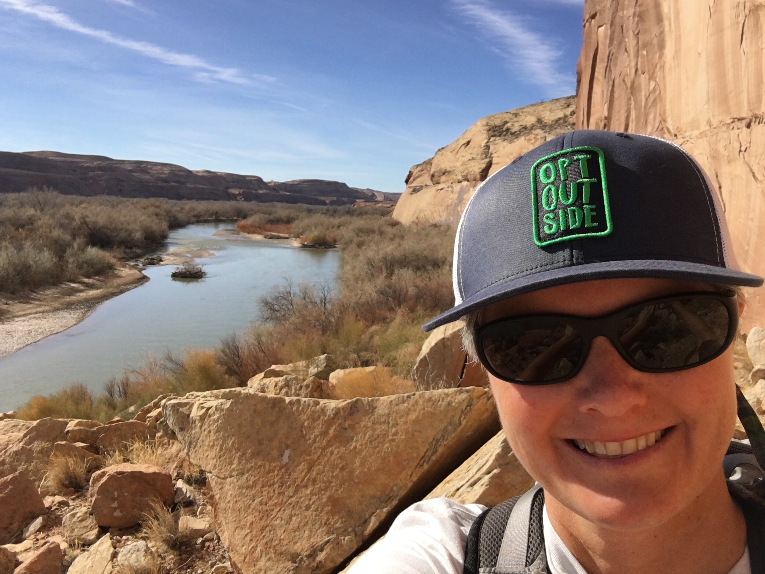
My true inspiration comes when I’m in the outdoors - experiencing nature and wildlife. I love exploring off-the-beaten path places. I particularly love exploring the desert southwest. Roaming and rambling around our vast and wild protected lands rejuvenates me and gives me inspiration. Exploring these places ignites my passion to learn more about the plants, animals and the communities who inhabit these areas. I have a deep respect and reverence for the history and knowledge of the Indigenous Peoples who live in these areas now and have called these places home for tens of thousands of years. My experiences with the land spark a resolve to protect these places and the culture and history they carry from the past, currently and into the future.

I am also inspired by people doing amazing work to save places, cultures, habitats and species. Robin Wall Kimmerer is one of those people. Her book Braiding Sweetgrass is a must read and her work on Indigenous Traditional Ecological Knowledge as a scientist, and author, professor and mother is needed now more than ever. Jane Goodall inspires me through her pioneering research on chimpanzees and her new approach to community-driven conservation called TACARE. Sylvia Earle’s groundbreaking work as the first female marine scientist for NOAA and now creating marine protected areas around the globe. I am inspired by the works of authors like Terry Tempest Williams, Craig Childs, Amy Irvine, Alice Walker, Leslie Marmon Silko, and poets like Mary Oliver and my good friend Anne Haven McDonnell. Hiking and exploring wild places, snorkeling in the Sea of Cortez, listening to and playing music, reading and writing inspire and energize me to do the work that must be done to save the places we love.
30 X 30 AND The future of conservation

We are at a critical juncture where we must protect 30 percent of our earth's lands and waters by 2030 and half of earth by 2050 in order to avert catastrophic biodiversity loss and climate collapse. This is a huge challenge that requires us to increase the pace and scale of land protection exponentially. GIS is the only tool to help us understand what 30 and 50 percent of lands and waters must be protected and provides the platform to connect all of our efforts globally. We can’t be successful without data, science, and geospatial technologies.
GIS is powerful mapping software that helps us understand and solve issues through the lens of place and location. It helps us make data and maps accessible through open data portals and easy to configure applications. The platform supports collaboration and inclusiveness through powerful community engagement, analysis, visualization, and storytelling tools that inform equitable strategy and policy changes. The innovative use of data, GIS, and science will help us address the challenging social, racial, and environmental issues we must face with urgency.
GIS is a part of almost everything we touch, interact with or experience in our lives. Its use has become pervasive throughout the world. Whether it’s being used behind the scenes to monitor renewable energy use, detect breaks in natural gas pipes in cities, route FedEx to deliver your packages or prevent poachers from killing endangered species, the uses are endless.
It’s become more than a mapping platform, it’s used for storytelling, community engagement, citizen science, real-time earth observations, and geodesigning the places we want to live in that support our mental, social and physical health.
We can now “mash-up” geospatial data and technologies to do things I couldn’t even imagine possible years ago. For example, anonymized mobility data is used to understand trail users in national parks, machine learning can help public land managers detect types of invasive species and eradicate them and satellites are capturing pictures of the earth that detect wildfire ignition sites and identify where coral reefs are stressed by climate change. It’s amazing the power that data and maps offer and I believe that by harnessing these technologies and combining them with our passions and creativity, we can solve the earth’s biggest issues - together.